Mixed Metro
Mapping neighborhood racial diversity and segregation in the USA
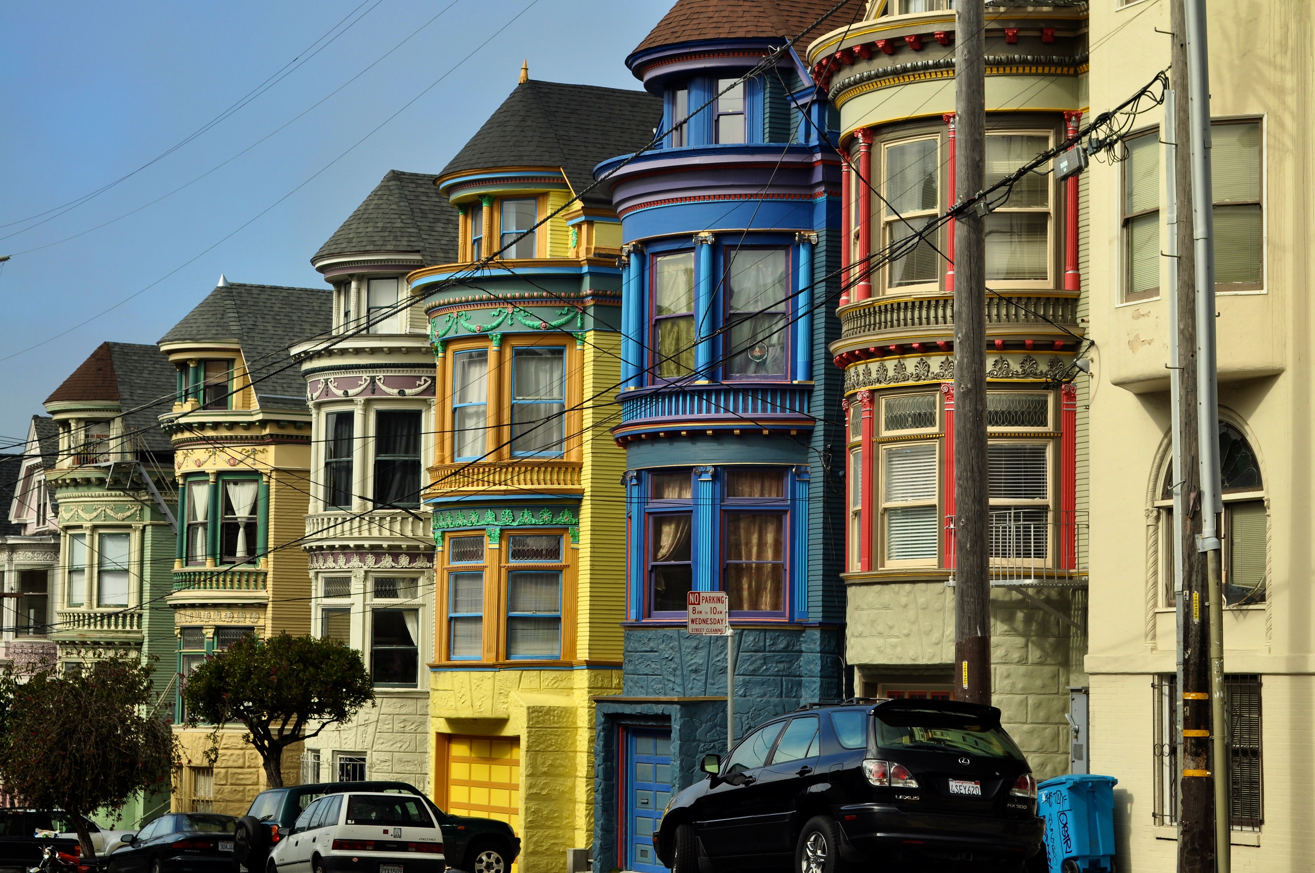
Photo by Flickr user Mario Bollini
Welcome!
Americans live in many kinds of communities, from diverse urban neighborhoods to small towns and rural areas. The complex patterns of segregation and diversity in these communities shape the lives of the people who call them home.
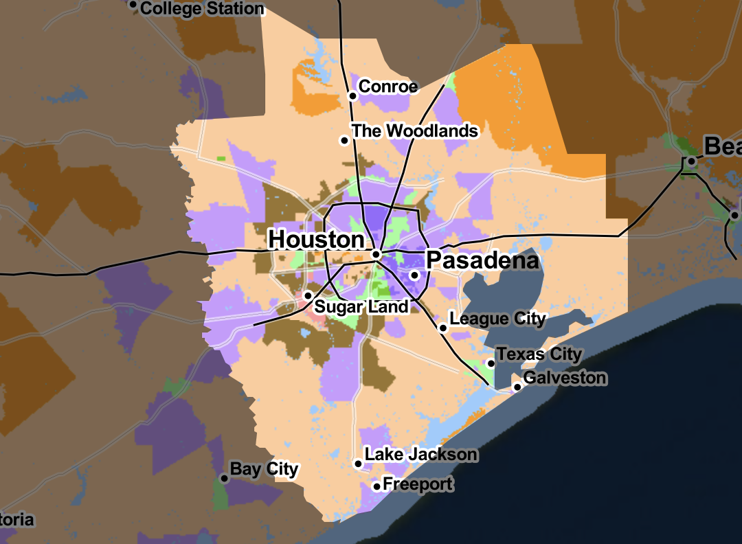
This website is designed to help you explore patterns of racial composition in major US metropolitan areas and individual states. Please visit our Maps, Data, Charts, and Publications pages to view our work and download relevant data and visualizations.
Credits & Acknowledgments
The mixedmetro project is a cooperative venture that explores the racial and ethnic diversity of US metropolitan neighborhoods.
It involves researchers in the Departments of Geography at three US academic institutions: Dartmouth College, the University of Washington, and the University of Georgia. The primary individuals involved are Richard Wright and Jonathan Chipman (Dartmouth), Mark Ellis (Washington), and Steven Holloway (Georgia). Grace Alston, Laura Andreae, Murylo Batista, Minal Caron, Keara Dennehy, Yvette Garcia, Kevin Mwenda, Akikazu Onda, Madeleine Parker, Nicole Tiao, Sandy Wong (Dartmouth), Kylee Hoffman (Washington), and Michael Wellman (Georgia) made valuable contributions to the project. Grant support from the National Science Foundation, the Russell Sage Foundation, and the Neukom Institute at Dartmouth College made this research possible.
To cite the MixedMetro website itself, we recommend the following:
To cite our work on MixedMetro's specific research themes, we recommend the following:
Mixed-race households
Quantifying racial segregation and diversity
A complete list of publications from the MixedMetro project is available on the Publications page.
The demographic data for this project were derived from tract-level data from the 1990, 2000, 2010, and 2020 US censuses. The ESRI ArcGIS software system was used to preprocess these data and to develop their cartographic symbolization for use on the maps.
The mixedmetro.us website was developed at the Citrin Family GIS / Applied Spatial Analysis Laboratory at Dartmouth College. The interactive mapping tools used on this site are based on the Leaflet API. CSS styles for blockquotes were based on the Classy Quotes model here.
The design of this website (exclusive of photographs, maps, and Leaflet code) is copyright 2008-2022 Dartmouth College.
For inquiries, comments, or suggestions about anything on this website, please contact us using the Contact section. Thanks for visiting.