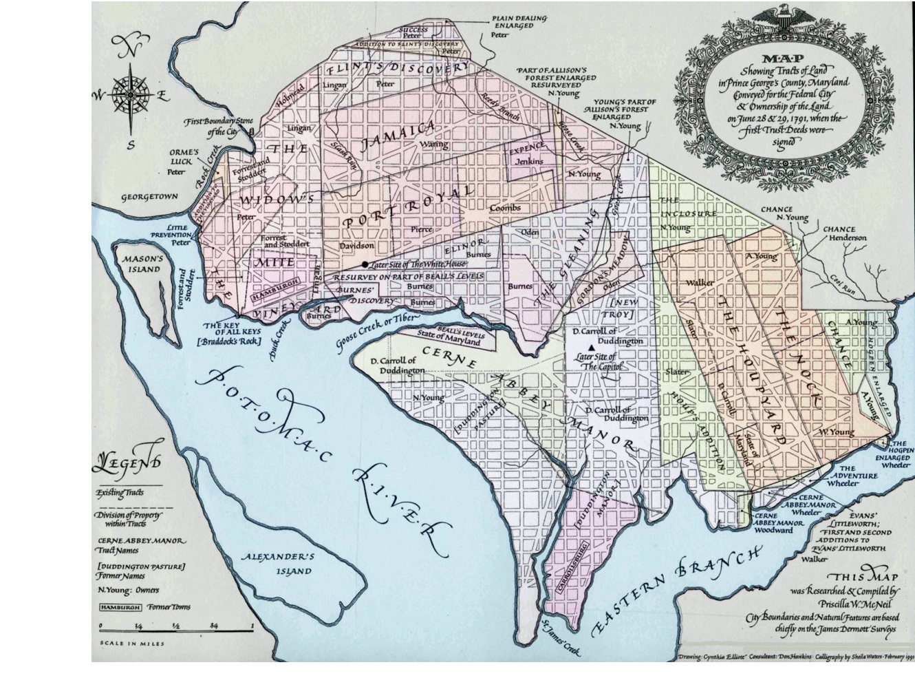
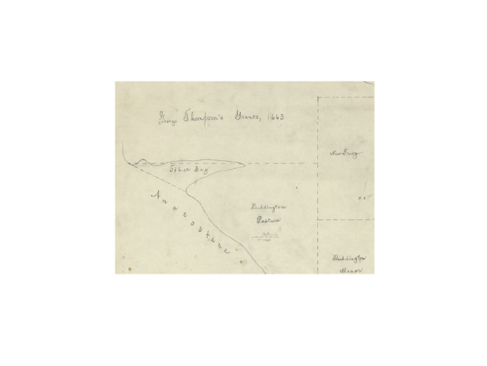
Map Comparisons
Here are 7 early maps of the DC area. They have been aligned to the extent possible so you can lay one over another for comparison. Select a top and bottom map using the radio buttons. Slide the blue circle left or right to reveal more or less of the underlying image. The green slider bar adjusts the opacity of the top image. For reference, the eighth image is a 2016 map of FEMA zones.
| Under | Over | Description |
|---|---|---|
| 1791 Tract Ownership | ||
| Tiber or Goose Creek | ||
| Mall Plan | ||
| Unknown View | ||
| 1667 Map | ||
| George Thompson's Grants, 1663 | ||
| 1792 View of City | ||
| 2016 FEMA zones |