A Matter of Time --
And it's Overdue
Concise statement of the situation
Concise statement of the situation
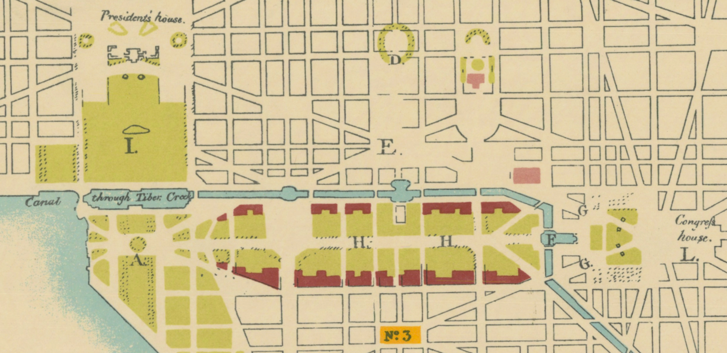
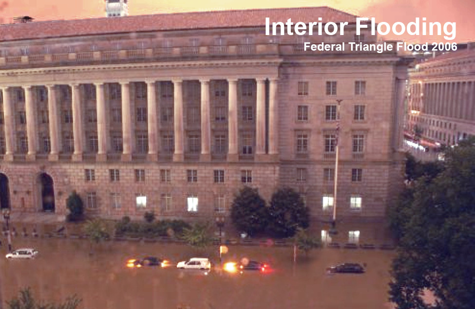
That Water Still Flows
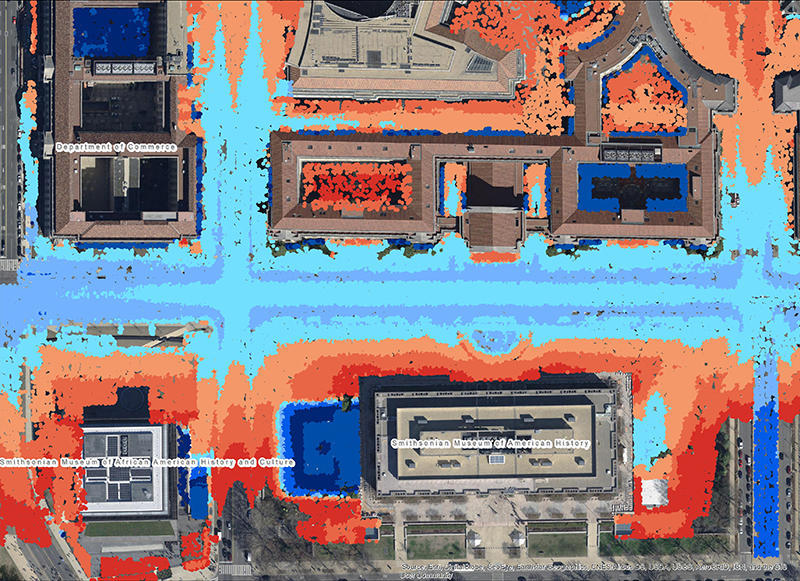
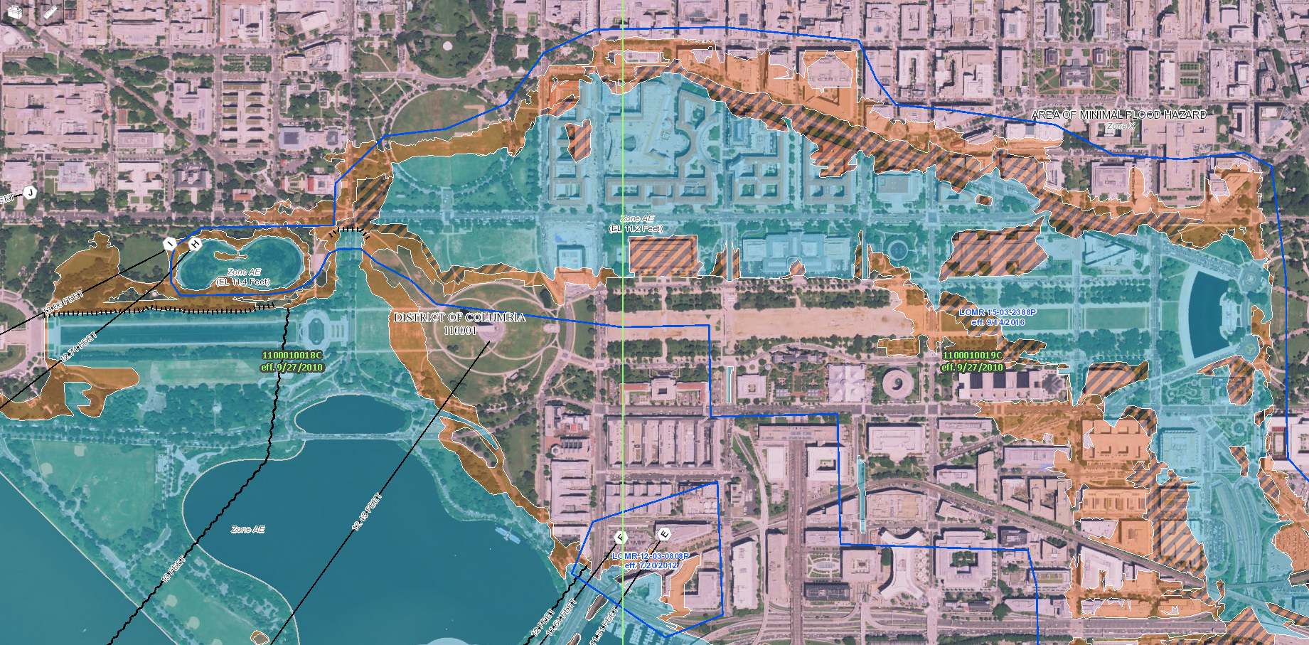
What a big rain would do today
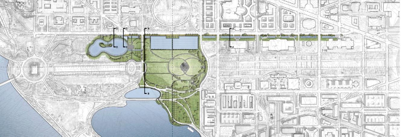
Beautiful, Economical, Historically Site Appropriate
Costs and Benefits
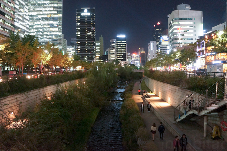
Good solutions from around the world
Karol's notes on related events
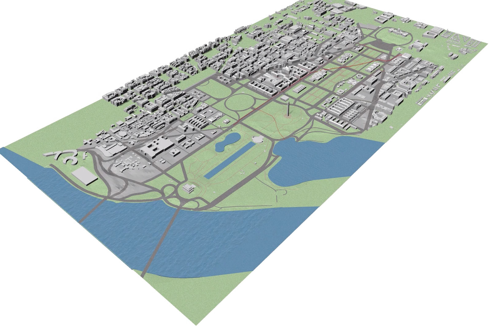
Video simulations and historical reconstructions