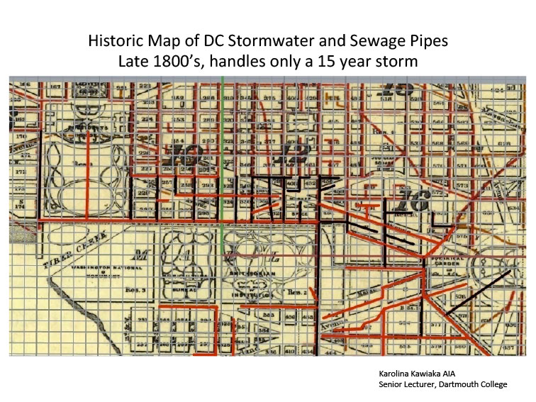
What a big rain would do today
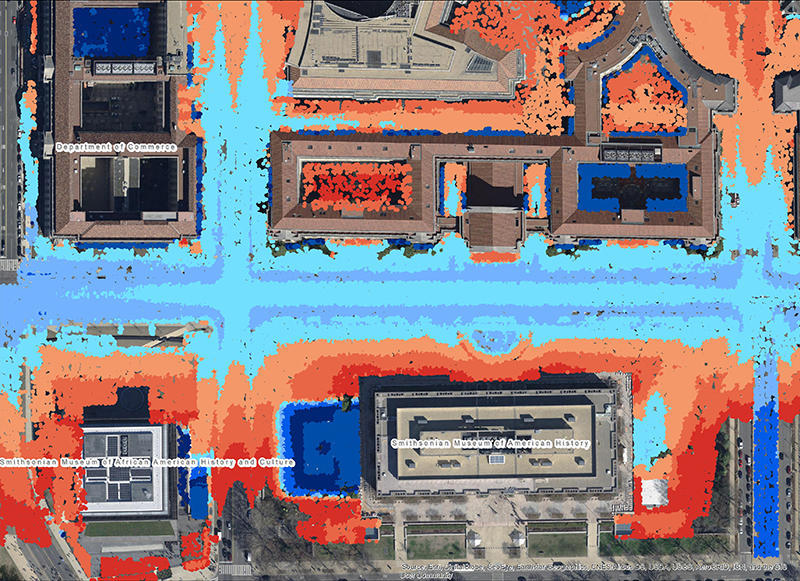 LIDAR points rendered as colored height bands
When these overflow, as happened in 2006, water and sewage rise up through the drains and fill low areas. Even as flow subsides, areas along Constitution Avenue currently have nowhere to drain, so they can stay flooded for days. In the LIDAR (3D Laser scanned) image above, note the light blue and lavendar areas near the National Museum of American History and the National Museum of African American History and Culture. These are currently low areas where water gathers and remains after heavy sustained rain.