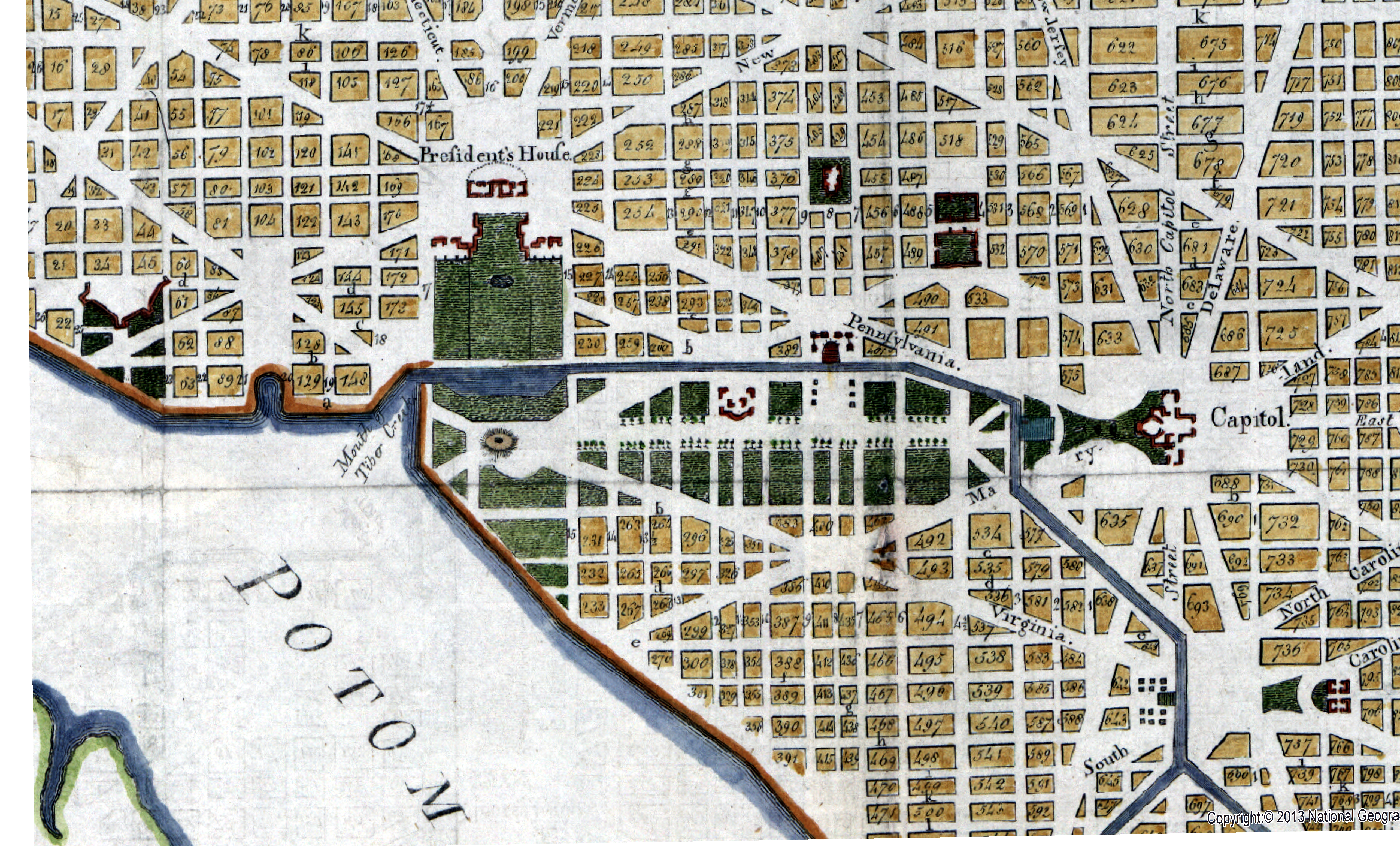
Map Comparisons
Here are 8 images of the flood-prone area of Washington, DC, showing different aspects or eras. They have been aligned to the extent possible so you can lay one over another for comparison. Select a top and bottom image using the radio butons. Slide the blue circle left or right to reveal more or less of the underlying image. The green slider bar adjusts the opacity of the top image.
| Under | Over | Description |
|---|---|---|
| Recent aerial imagery | ||
| 1794 map | ||
| Sewers in 1873 | ||
| Tiber Creek Canal map in 1800s. Note barge turnaround near current National Archives | ||
| 1861 Boschke map, note Tiber Creek upper right | ||
| Historic drainage network | ||
| Google satellite image with feature labels | ||
| Proposed bioswale and retention area |